
Mount Olive Postal Coverage
The complete serving set located for Mount Olive Township is 07828, 07836, and selected Mount Olive addresses using 07840. This is a coverage inventory, not a legal boundary map. The township material placed those routes in a Mount Olive and Hackettstown mailing-list context, but it did not publish an authoritative polygon that assigns every address. The exact delivery result must be checked address by address.
| ZIP | Areas or labels | Post office | Coverage note |
|---|---|---|---|
| 07828 | Budd Lake and the municipal mailing form | Budd Lake Post Office, 1 Mount Olive Road, Suite 102 | Core municipal mailing label; verify a particular boundary with USPS |
| 07836 | Flanders and library postal form | Flanders Post Office, 240 U.S. Highway 206, Unit 20 | Flanders and other Mount Olive routes; no official boundary polygon located |
| 07840 | Hackettstown postal label on selected Mount Olive routes | No Mount Olive-wide post-office claim made from the located sources | Route 46 and Pleasant Hill Road examples do not make all of 07840 Mount Olive |
The Mount Olive municipal contact page shows the township address context behind the local postal labels.
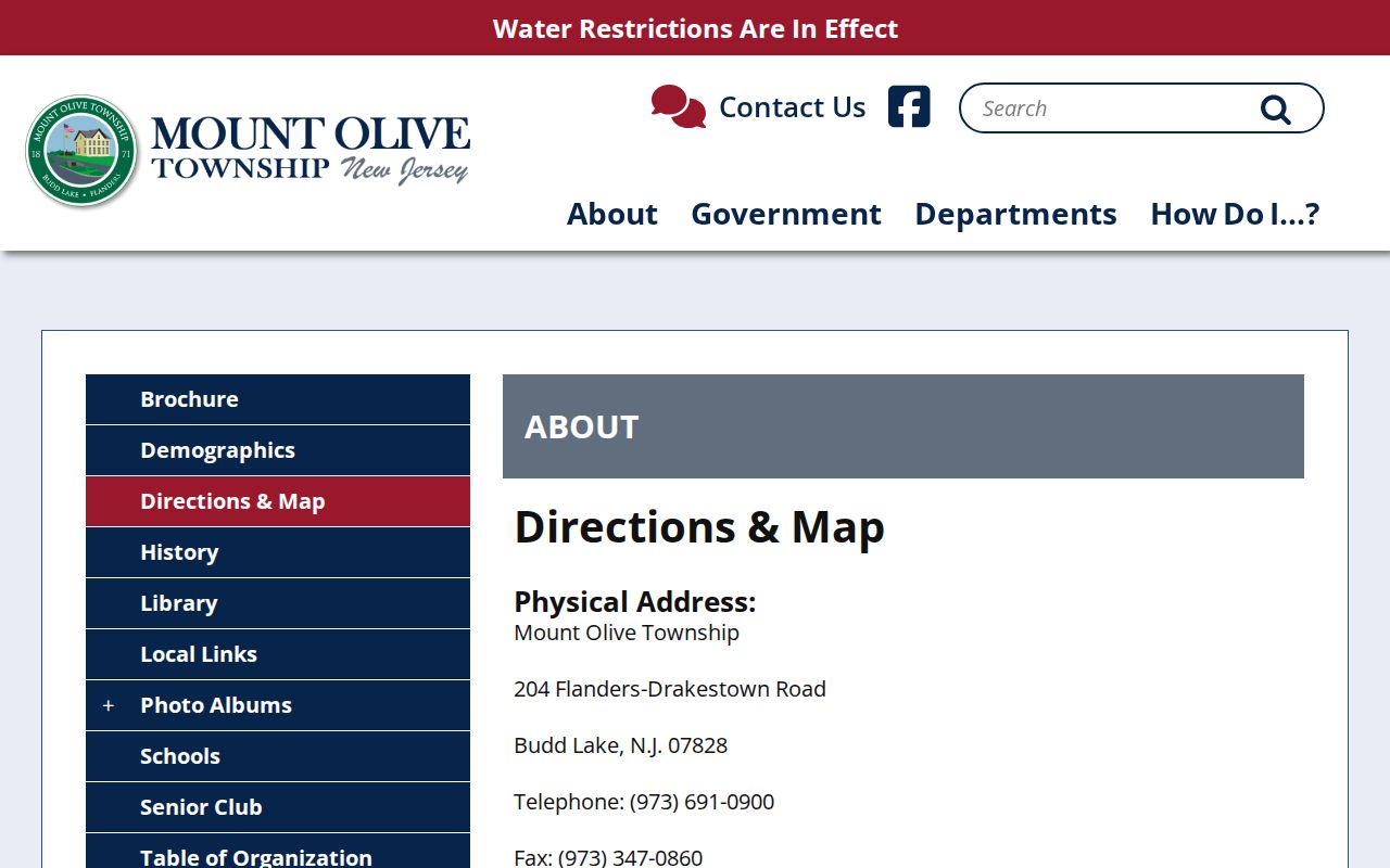
Municipal address formatting can vary between Budd Lake, Flanders, and Mount Olive forms. Those labels describe mail handling and page conventions, so the county tax district and parcel are still needed for a jurisdiction finding.
USPS Delivery Checks for Mount Olive
Use the USPS ZIP Code Lookup for an exact delivery address and ZIP+4. USPS controls the delivery lookup. It is the final postal check when a historical directory, deed, township form, or family document gives a questionable city or ZIP label. The result should be saved with its check date because delivery information can change while a block and lot remains stable.
The USPS address lookup is the documented delivery-validation tool used by a Mount Olive ZIP code directory search.
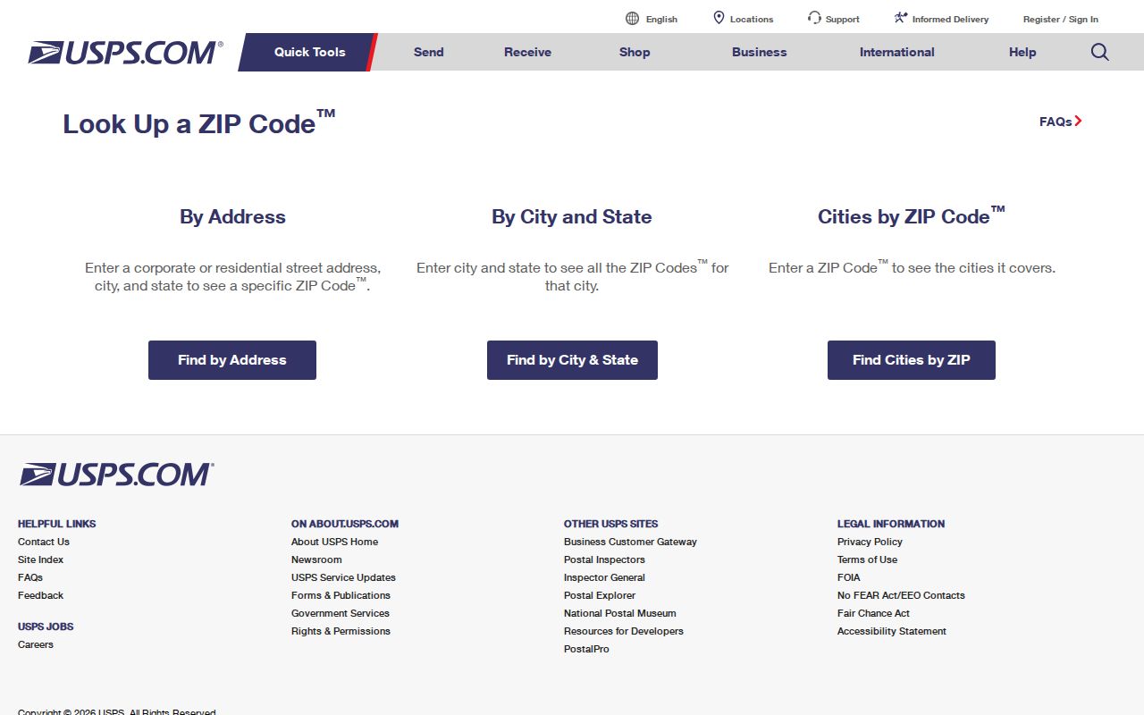
Enter the complete delivery address instead of assuming a postal city from a municipal name. USPS may return a ZIP+4, but that delivery refinement is not a legal parcel identifier and should not replace a county district, block, or lot.
Note: Keep the raw address from the original source alongside the USPS-normalized form so historical wording is not silently overwritten.
Mount Olive and the 07840 Postal Label
07840 is the local boundary trap. The official township route material includes it, and a 2025 county site map identifies Mount Olive-context examples at 427 Route 46 East with a Hackettstown 07840 label and at Regency at Flanders on Pleasant Hill Road with Mount Olive 07840. These examples establish a postal-label issue. They do not establish that every 07840 address belongs to Mount Olive Township, or that every Hackettstown postal label lies outside Mount Olive.
When a source supports both facts, retain them separately: postal city Hackettstown and legal municipality Mount Olive Township. When it supports only the ZIP, report only the ZIP. This small distinction prevents a delivery route from becoming an unsupported residence or jurisdiction statement.
Mount Olive Parcel Search Fields
The county property systems answer the jurisdiction side of the question. The Tax Board uses tax year and district on every documented search route, then accepts property location, owner, block and lot, or prior block and lot fields. No ZIP field was identified among those Tax Board routes. The GIS Parcel Searcher accepts municipality, owner, street address, or parcel ID and can display mapping context. Use a postal result to verify delivery, then use these property keys to establish the parcel connection.
| System | Search fields documented | ZIP use | What the result answers |
|---|---|---|---|
| USPS Lookup | Exact delivery address entered in a dynamic lookup | Returns ZIP and ZIP+4 when available | Delivery form for a particular address |
| Morris County Tax Board | Tax year, district, street with optional house number; owner; block/lot; prior block/lot | No documented ZIP search field | Tax district and structured parcel record |
| Morris County GIS Parcel Searcher | Municipality, owner, street address, or parcel ID | Use the address as entered, then compare parcel data | Parcel and map context |
The Morris County Tax Board and GIS Parcel Searcher are the official county routes for district, block, lot, and parcel context. GIS data is dynamic and as-is, not a legal survey or legal description.
Use Postal Labels in Mount Olive Records
A ZIP alone does not produce an official list of people in the township. It can narrow a known address and tell the researcher which delivery label to preserve. The next record needs an address, parcel key, name, date, or another source-specific identifier. That is why the postal check comes first and the county record follows.
- Enter the complete known address in USPS and save the returned postal form and the date checked.
- Search the same street through the Tax Board using tax year and district. If the house number is uncertain, use the documented street route and confirm candidates by block and lot.
- Use GIS to compare the parcel display with the address and municipality. Save the map layer date because the viewer is dynamic.
- When a recorded transfer is relevant, use the Clerk publicsearch index with the owner, parcel, district, or legal-description fields and confirm the instrument date.
- Use NJ SVRS only for the lawful registration self-check, and ask the Morris County Board of Elections about permitted voter-file access. A registration record has its own status and date.
Once delivery and jurisdiction are settled, the Mount Olive street directory has the full address-to-parcel and recorded-instrument workflow. A ZIP is a useful first sort, not a substitute for that street-level work.
Mount Olive Delivery Terms
Postal and parcel vocabulary should remain separate in notes and spreadsheets. The research model keeps the raw street address and postal city alongside legal municipality, county tax district, block, lot, source link, and date checked. That preserves both the answer to where mail is delivered and the answer to which office has jurisdiction.
- ZIP
- A USPS delivery-area code used to route mail. It is not a municipal boundary.
- ZIP+4
- An added delivery refinement returned for a specific address. It can change without changing the legal parcel.
- PO-box ZIP
- A ZIP used for post-office-box delivery. It should not be assumed to describe a street-delivery area.
- Unique ZIP
- A delivery designation assigned to a particular organization or mail arrangement, rather than a general municipal boundary.
- Carrier route
- A postal delivery grouping. It is a mail-routing tool, not proof of legal jurisdiction.
USPS describes ordinary, unique, and PO-box delivery designations in its ZIP Code basics. Record the label that the source actually used, then add the county result as a separate field.
Mount Olive Postal Access Points
The post-office listings offer a practical check on the two local anchor labels. USPS lists the Budd Lake Post Office at 1 Mount Olive Road, Suite 102, Budd Lake, NJ 07828-9998. It lists the Flanders Post Office at 240 U.S. Highway 206, Unit 20, Flanders, NJ 07836-9998. Those listings identify service locations and postal labels, not lines of township jurisdiction.
The USPS Budd Lake Post Office listing is the source for the local access details shown here.
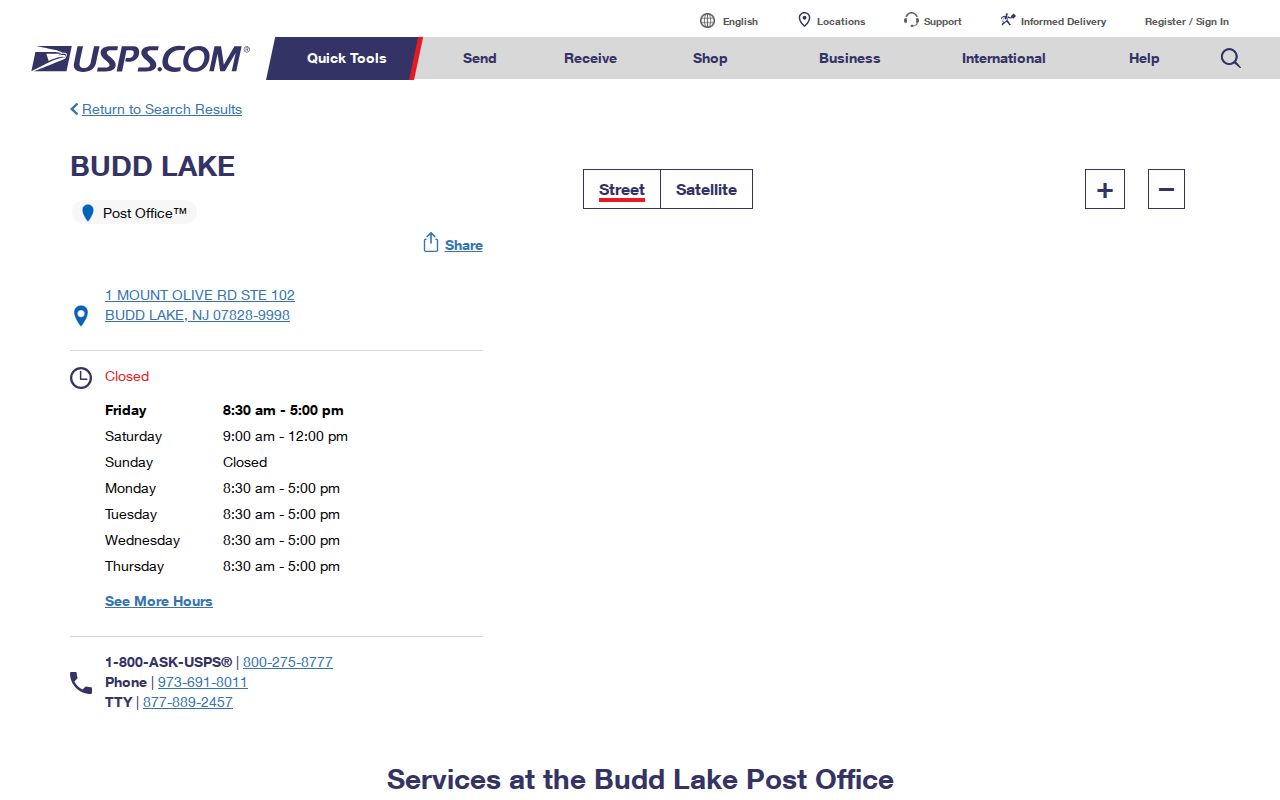
Use the postal location to resolve delivery questions or seek service information. Use the county Tax Board, GIS, and municipal records for parcel jurisdiction, not the name of the post office.
Mount Olive Postal Boundaries and Jurisdiction
Census ZIP Code Tabulation Areas, or ZCTAs, are approximations of USPS delivery areas. They are not legal municipal boundaries. The Census ZCTA guidance therefore cannot settle a Mount Olive jurisdiction question. The county systems and the municipal record establish the tax district, parcel, and legal municipality.
For a property record, store the raw postal city and ZIP, the USPS-verified form and date, legal municipality, county tax district, block, lot, and source link. A historic directory or deed may use Budd Lake, Flanders, Mount Olive, Hackettstown, or an older village form. Preserve the historic label first, then add a current delivery check instead of rewriting the source.
Note: A parcel may keep its legal municipality while USPS changes its delivery label, so postal normalization and jurisdiction verification should be recorded as separate steps.
Limits of the Mount Olive Postal Directory
A ZIP does not establish title, current presence, a household, or a full township population. The township-specific research located three serving labels, but not a complete official address-by-address boundary dataset or a legal claim for all of 07840. A Tax Board record may identify an assessed owner for a tax year; a deed may identify a recorded party on an instrument date; a voter record may identify registration status. Each needs its own label and date.
When an address remains uncertain, the correct result is uncertainty. Keep the original postal spelling, record the source date, and use USPS, the county parcel systems, the Clerk, or the relevant municipal custodian for the next narrow check.